Grafham
Travel Guide

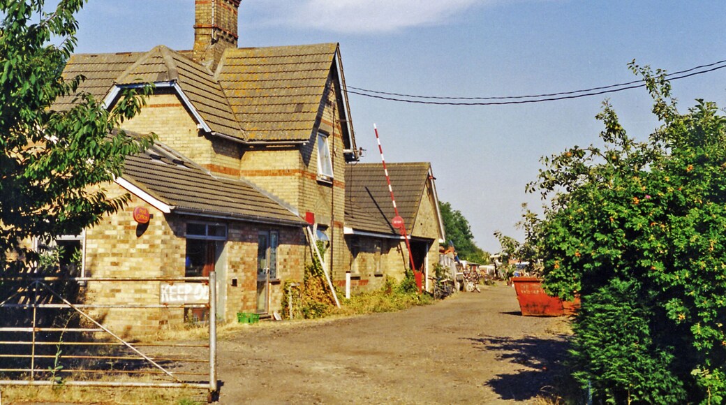


Visit Grafham
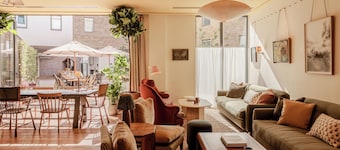
Wilde Cambridge City Centre
"This hotel is clean and modern- comfortable bed and pillows, TV with apps and kitchen basics. I loved that you could chat with the staff via WhatsApp with immediate responses. I will stay here from now on when visiting Cambridge! Also great location just a few minutes walk to Kings Parade."
Reviewed on May 24, 2026

Hyatt Centric Cambridge
"Lovely stay and really great staff. We stayed for one night and the room was clean, comfortable and had all the expected amenities. Location was a little out of the city but, we knew that before booking. Would stay again if visiting the Cambridge area."
Reviewed on May 24, 2026

Cambridge Belfry Hotel & Spa
"Great little hotel with a classic British ambiance"
Reviewed on May 23, 2026

Turing Locke Cambridge
"Could use a better cleaning of bathroom and floors besides that pretty good"
Reviewed on May 23, 2026

The Regent Aparthotel
"The rooms were clean and comfortable and cleaned and restocked daily. The breakfast was a continental one but it was fresh and plentiful. The hotel is perfectly situated close to all the attractions. The staff were friendly and helpful"
Reviewed on May 6, 2026

Ascot House
"Clean, had everything we needed and more. Beds are a little on the small side (in length as well) and rock solid."
Reviewed on Apr 26, 2026
Popular places to visit

Hinchingbrooke Country Park
Explore the great outdoors at Hinchingbrooke Country Park, a lovely green space in Huntingdon. While in this relaxing area, you can savor the lively bars.

Somersham Pocket Park
Explore the great outdoors at Somersham Pocket Park, a lovely green space in Somersham.
Raptor Foundation
Why not see the exotic and native animals who live at Raptor Foundation during your vacation in Pidley cum Fenton? Check out the lively bars or top-notch restaurants in this relaxing area.
Lakeside Lodge Golf & Country Club
Enjoy a round of golf in Pidley cum Fenton at Lakeside Lodge Golf & Country Club.
The Manor at Hemingford Grey
Learn about the local history of Hemingford Grey when you spend time at The Manor at Hemingford Grey. Check out the spas and top-notch restaurants in this relaxing area.
The Cromwell Museum
You can spend an afternoon exploring the galleries in The Cromwell Museum during your trip to Huntingdon. Check out the top-notch restaurants or lively bars in this relaxing area.
Things to do
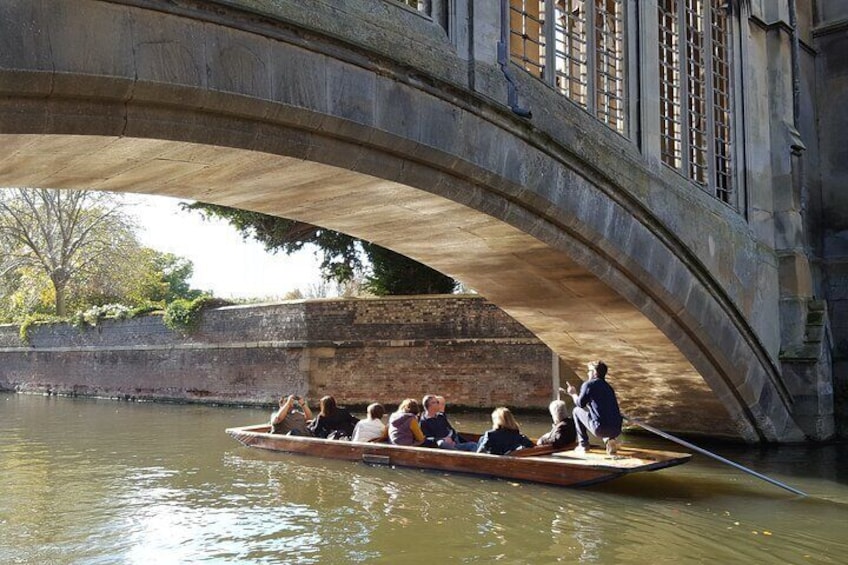
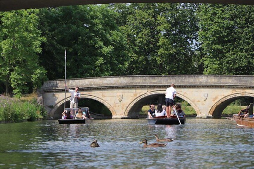
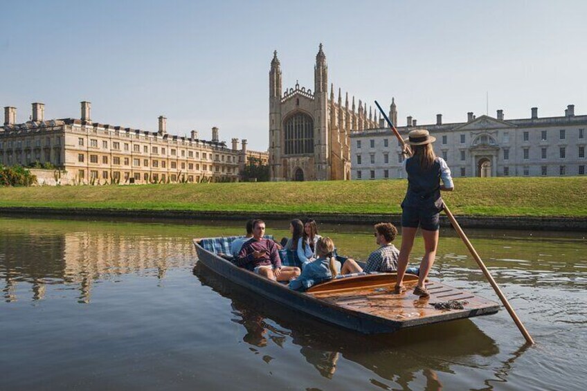
Shared Guided Punting Tour of Cambridge
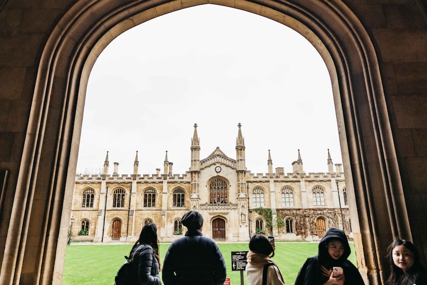
Cambridge University & Kings College Walking Tour By AlumniTM

Cambridge After Dark: University Ghost Tour By AlumniTM


